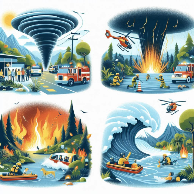
Located in one of the most vulnerable geographic areas worldwide, Ecuador has witnessed numerous natural disasters throughout its history. This small South American country, situated on the Pacific Ring of Fire, is prone to seismic events, volcanic eruptions, floods, and landslides. The combination of its mountainous geography, tectonic location, and varied climate have made Ecuador a place susceptible to various natural phenomena. However, despite the countless challenges, the Ecuadorian people have shown admirable resilience in the face of adversity.
Volcanic Eruptions.
Ecuador is home to many active volcanoes, some of which have caused devastating eruptions over the centuries. The country has more than 80 volcanoes, most of them located in the Andes mountain range. Among the most active and well-known are Tungurahua, Cotopaxi, Reventador and Pichincha.
Tungurahua Volcano eruption (1999 - 2016).
One of the most recent and significant volcanic episodes was the eruption of the Tungurahua volcano, which began in 1999 and continued intermittently until 2016. This eruption severely affected nearby communities, especially the town of Baños, a popular tourist destination. Over the years, volcanic activity forced mass evacuations and destroyed crops, infrastructure, and property. Although authorities implemented emergency plans, many families had to abandon their homes permanently, which had a devastating impact on their livelihoods.
Cotopaxi: The Threatening Giant.
Cotopaxi, one of the world's tallest and most active volcanoes, is a constant threat to nearby populations. Its last major eruption occurred in 1877, when lava flows and lahars (volcanic mudflows) reached several towns and destroyed much of the infrastructure of the time. Although it has been relatively quiet since then, volcanic activity in 2015 caused alarm among the population and led to states of emergency being declared. Cotopaxi is one of the greatest concerns for Ecuadorians due to its proximity to the capital, Quito.
Eruptions of the Reventador Volcano.
El Reventador, located in the Amazon region, has had multiple eruptions over the years. Its most recent and significant eruption occurred in 2002, when it spewed ash more than 17 kilometers into the air. The eruption was so strong that it even affected Quito, covering the city in a thin layer of ash. Although it did not cause many human casualties, the eruption of El Reventador had a significant impact on daily life and the economy of the region.
Earthquakes.
Ecuador, being located on the border of the Nazca Plate and the South American Plate, is prone to earthquakes. Over the years, several quakes have caused havoc in different parts of the country.
1906 earthquake.
One of the most devastating earthquakes in Ecuador's history occurred on January 31, 1906. This earthquake, with a magnitude of 8.8, affected the coastal region of the country and caused a tsunami that hit the coasts of Ecuador and Colombia. Although there are no exact figures of victims, it is estimated that between 500 and 1,500 people died. This event remains one of the most powerful earthquakes ever recorded in the region.
Manabí and Esmeraldas earthquake (2016).
On April 16, 2016, Ecuador experienced one of the most recent and destructive natural disasters in its history. A 7.8 magnitude earthquake struck the provinces of Manabí and Esmeraldas, leaving more than 670 dead and thousands injured. The quake severely affected cities such as Manta, Portoviejo and Pedernales, where buildings collapsed and many people were trapped in the rubble. The devastation was such that the country entered a state of emergency, and a large-scale rescue operation was launched with the help of the international community.
The earthquake not only left a tragic toll of lives lost, but also severely affected the economy of the region, destroying key infrastructure, including bridges, roads, hospitals and schools. Rebuilding the affected areas has been a long and costly process, but solidarity among Ecuadorians was a crucial element for recovery.
Floods and Landslides.
The climate in Ecuador can also be a source of natural disasters, especially in coastal and Amazonian areas, where heavy rains often cause flooding and landslides.
The El Niño Phenomenon.
The El Niño phenomenon has severely affected Ecuador on several occasions. This cyclical weather event causes abnormal warming of Pacific waters, resulting in intense and often devastating rainfall. El Niño floods have primarily affected the coastal region, where agriculture and infrastructure have suffered extensive damage.
In 1997-1998, El Niño caused one of the worst natural disasters in Ecuador’s recent history. Floods destroyed thousands of hectares of crops and left tens of thousands of people homeless. Economic losses were estimated in the billions of dollars, and many communities took years to recover. The rains also triggered numerous landslides in mountainous areas, blocking roads and isolating entire villages.
Landslides in the Sierra.
Heavy rains in Ecuador’s mountainous regions have also triggered landslides, especially during the rainy season. On some occasions, these landslides have claimed human lives and destroyed critical infrastructure, such as roads and bridges. The provinces of Loja, Azuay, and Chimborazo have been particularly vulnerable to these events. In many cases, communities have been isolated for days or weeks, making it difficult to access basic services such as food and medical care.
Challenges and Preparations for Natural Disasters.
Over the years, Ecuador has learned valuable lessons from its experiences with natural disasters. One of the main challenges has been to improve early warning systems and emergency plans to minimize the impact of these events. The government, together with international and local organizations, has implemented measures to improve resilience to future disasters.
Earthquake and Volcanic Eruption Preparations.
In areas at greatest risk of earthquakes and volcanoes, awareness programmes have been implemented to educate the population on how to act in case of emergency. In addition, the most vulnerable cities have begun to adopt stricter building regulations to reduce the damage caused by earthquakes and eruptions.
Flood and Landslide Response Plans.
In coastal and mountainous areas, evacuation plans and reforestation programmes have been developed to reduce the risk of landslides. The government has also invested in infrastructure to mitigate the impact of flooding, such as the construction of dikes and drainage systems.
Ecuador has faced numerous natural disasters throughout its history, from volcanic eruptions to devastating earthquakes and severe flooding. While these events have claimed lives and caused great material losses, they have also highlighted the incredible resilience of the Ecuadorian people. With each disaster, Ecuador has learned, adapted, and strengthened its prevention and response mechanisms. As science and technology advance, the country is better prepared to face future challenges, always hoping to mitigate the impact of these natural phenomena and protect its people.